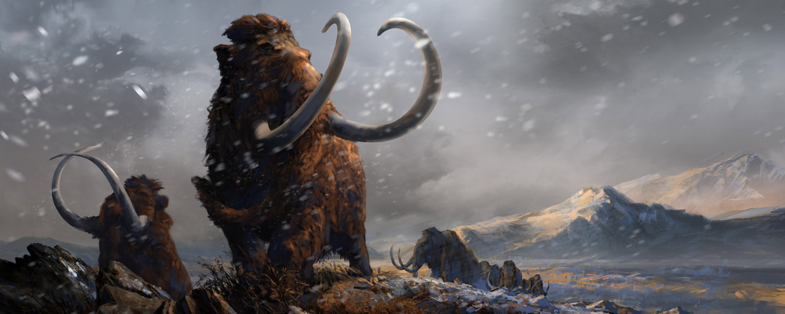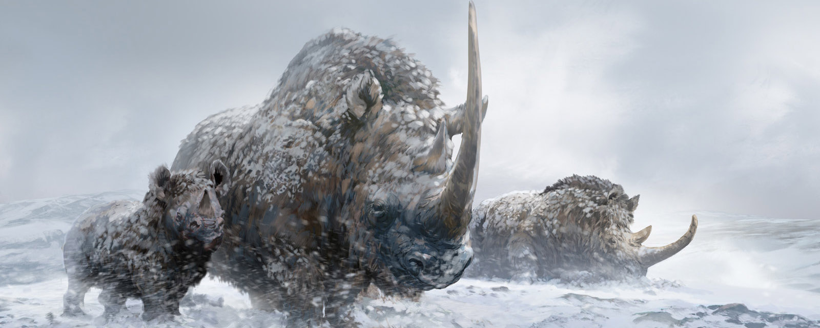


"The gigantic quadrupeds, the Mastodons, Elephants, Tigers, Lions, Hyenas, Bears, whose remains are found in Europe from its southern promontories to the northernmost limits of Siberia and Scandinavia...may indeed be said to have possessed the earth in those days. But their reign was over. A sudden intense winter, that was also to last for ages, fell upon our globe; it spread over the very countries where these tropical animals had their homes, and so suddenly did it come upon them that they were embalmed beneath masses of snow and ice, without time even for the decay which follows death." -- Louis Agassiz (1866) Geological Sketches
BIG QUESTIONS: How did the Quaternary Ice Age form? From where did its characteristic biota come?
Discovery of the Ice Age(s)
Early geologists noted several phenomena on the Earth's surface which (by superposition and cross-cutting relationships) were clearly among the youngest (most recent) events in geologic time. But they didn't realize at first what they indicated about recent geologic history. These phenomena included:
What could have caused these phenomena? An early idea is that they all represented a giant recent flood (perhaps The Flood of Genesis?). But the geology wasn't right: water would separate out the rock flour from the boulders, for instance, and would wash out the eskers (inverted river channels), and so on.
But some naturalists began to recognize that all these features were common in mountain ranges where glaciers were working. Erratics are rocks scraped from the sides of mountains, carried by glaciers, and left behind when the glaciers melt backs; striations and erosional features are the gouges and scrapes left by the rock-laden ice as it bulldozes along; the drift was the debris carried by the ice and left behind when the ice melts back (with the shaped landforms either being earlier piles or hills polished out by the ice, or the debris left by channels of meltwater under the ice); kettle lakes are made by chunks of ice left behind in the drift which (when they melted) left behind spaces for water to accumulate; and so on.
But in Europe and North America, these glacial landforms were nowhere near any major mountains: how on Earth could glaciers have formed them? In the 19th Century it was already known that Greenland was covered over by a continental glacier (this would later also be found to be the case in Antarctica when explorers finally reached there).
Following the lead of earlier researchers, Louis Agassiz and K.F. Schimper in 1837 proposed that all of Switzerland and the neighboring region had recently experienced an Eiszeit (an Ice Age) when it had totally been covered by a Greenland-like continental glacier. After hearing from other researchers, and visiting the rest of Europe (and eventually North America), Agassiz went further in his Etudes su les glaciers (1840), proposing that northern and central Europe and northern North America had all been ice covered, and that the Eiszeit had been a global phenomenon. In fact (see the quote on the top of the page from his later work) he proposed that the extinction of the Pleistocene mammals like mammoths, woolly rhinos, and the like (which he thought were tropical creatures, not knowing they were hairy) was because of the Ice Age. He thought that until the coming of the glaciers that the northern world was still warm and tropical, and that the ice came to cover these regions and bring doom to these species.
Very quickly, though, the idea of a single episode of glaciers was disproven. Paleontologist Archibald Geikie demonstrated that there were multiple successions of glacial deposits with non-glacial deposits stratigraphically in between them, containing warm (or at least warmer) climate plant and animal fossils. During the late 19th and early 20th Centuries it was thought that there were four phases of glacials with four interglacials in between. (The modern Holocene Epoch would thus be the most recent interglacial, with the next glacial phase in the future [although anthropogenic global warming has ruined that possibility]). The glacials and interglacials seemed to have varying lengths of geologic time, but seemed to correlate worldwide: ice advanced in Eurasia and North America (and out of the mountains of South America, Australia, New Zealand, etc.) at the same time, and melted back at the same time worldwide.
Now, a little stratigraphy:

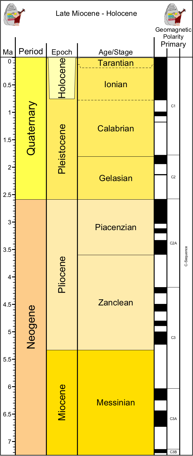
The most recent Period of Earth History is the Quaternary. Based on our modern stratigraphy, it began at 2.588 Ma with a shift from an Icehouse to an Ice Age world, and the start of the glacial-interglacial cycles. The time between the onset of the glaciation and the most recent deglaciation is the Pleistocene Epoch, and the time of the recent interglacial (including this moment right now, and now, and now...) is the Holocene Epoch. Overall, Quaternary climates are cold by Earth History standards: even the interglacials of the Pleistocene and Holocene are cooler than the preceding Pliocene and Miocene times, much less the Greenhouse world of the Eocene and earlier.
These animals survived repeated glacial-interglacial episodes, moving North and South to track the cooler (but not fully glaciated) conditions they preferred.
The person who worked out those details was Serbian mathematician and scientist Militun Milankovi&cactue;. While in prison (read up about him elsewhere...) he worked out the relative contribution of three different parameters:
The combination of the different parts of the Milankovitch Cycles result in different amounts of sunlight being received in different latitudes at different times of the year. Milanković determined that the primary driver would be the changes of insolation at high northern latitudes (e.g., 65-68°N) in the summer time. This is because this is the best time and place to control the growth of large continental glaciers. There is far more land in the Northern Hemisphere than the Southern. And harsher winters won't make the ice grow any more or less in general. But the summer is a different story. If the summer stays colder, more ice remains from the previous winter. Since ice has high albedo, it reflects more light as visible light, which goes right back into space. This lets the Earth get colder still, so the ice grows from year to year, causing the ice to advance.
In contrast, if the northern summers get warmer, the ice melts back, exposing more dark soil. Dark soil absorbs sunlight and re-radiates it back as thermal energy (heat). More heat melts the ice more, which exposes more dark soil, which warms stuff up more, and so on.
This was an interesting idea, but Milankovitch cycles predicted many more than just four glacials and interglacials. Because of this, Milanković's ideas were ignored until the middle of the 20th Century. At that time, the Albatross Expedition of 1947-1948 found evidence to support this model. This was a Swedish deep-sea drilling project (one of the first such expeditions), which recovered the first good deep-sea cores with microfossils.
They found patterns of the percentage of calcium carbonate, of oxygen and carbon isotopes, and so forth matched worldwide. And were consistent with changes from warm to cold. And matched Milanković's pattern predicting dozens of glacial advances and retreats, with subcycles within those, and the subcycles within those. They also showed that Milankovitch cycles are constantly at work (which they should be), but that there was a marked cooling beginning at the base of the Quaternary.
What triggered the Quaternary Ice Ages if Milankvotich Cycles are always working? During the Cenozoic the climate has generally declined since the high of the Eocene. The isolation of Antarctica and the rise of the circum-Antarctic current at the end of the Eocene was one big shift (from the Greenhouse to Icehouse conditions), and the rise of the Himalayan Plateau around 7 Ma also dropped the temperature further (erosion of the uplifted landmass scrubbed CO2 from the atmosphere, producing less greenhouse gasses).
The final push was (probably) the rise of the Isthmus of Panama, separating the Atlantic and Pacific and producing the Oceanic Conveyor Belt. This is the circulation system which drags salty water down into the deep ocean in the North Atlantic, where it gets sequestered in the deep sea for 1000 years or so. The deep ocean is a vast carbon sink. and colder water absorbs and holds more carbon dioxide: thus, the new oceanic conveyor belt represented a new way to remove CO2 from the atmosphere. (In April 2015 a paper suggests that the Isthmus may have been in place back in the Miocene, in which case it is not the trigger: we need to see how this actually plays out with further research.)
The Glacial Phase
Deglaciation
The Interglacial Phase
The Pleistocene saw two major new biomes show up. The tundra is a lowland, generally coastal environment. The vegetation is often descended from mountain species, and are very low to the ground. It dominates the polar regions today. However, during most of the Pleistocene the cold environment was dominated by the mammoth steppe. This was dominated by grasses rather than low flowers, and had much higher diversity of plants (and of animals feeding them). Mammoth steppes had much higher productivity than tundra does. They required mammoths and other large animals to form: these fertilized the steppes with their feces, and exposed soils which allowed for various plant species to colonize and grow.
But where did they come from? Some had origins from the Pliocene species that lived in the same region. For instance, woolly mammoths seem to be the descendants of the steppe mammoth Mammuthus trogontherii , itself descended from the Southern Mammoth Mammuthus meridionalis. Cave lions seem to nested phylogenetically within the lion-like panthers (lions and leopards), which were still living in the temperate zone (even Europe) in early historic times. And so forth.
But a new set of discoveries were made in the Tibetan Plateau in the last decade. The vast elevated Tibetan Plateau is sometimes called the "Third Pole". The conditions there are similar to polar regions due to the extreme cold.
A series of joint US/Chinese expeditions in the Zanda Basin have explored lake deposits containing abundant mammal fossil remains. These range from the late Miocene through the Pleistocene. They document several important discoveries:
In fact, there are some animals from the Zanda Basin fossil record whose descendants were to spread to other parts of the world, such as:
The "Out of Tibet"/"Third Pole to the North Pole" hypothesis is compelling: after all, animals adapted to the cold Tibetan Plateau would do fine when the world began to chill. The Zanda Basin expeditions are on-going, so we will see what other Pliocene precursors of Pleistocene mammals may be discovered.
But what of Cro-Magnons, Neanderthals, and the like? Their story takes us back not to Asia, but to Africa.
